Application of Field-Map technology for needs of silviculture analitycs in cultivated forest of Black pine in the area of Slatina
DOI:
https://doi.org/10.7251/GSF2030004GKeywords:
European black pine, Field-Map, Silvicultural analytics, Silviculture of special-purpose forestsAbstract
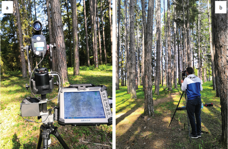
Modern technology and instruments in forestry are increasingly used in determining the condition of forests, processing and analysis of collected field data. Terestrial measurements use instruments that are constantly innovated in hardware and software, including Field-Map (FM) technology. Field-Map is based on the efficient use of electronic or traditional measuring devices such as laser rangefinder, electronic compass, GPS and electronic (digital) caliper. Silviculture analytics implies, among other things, numerical parameters as orientation indicators when performing silviculture works, so FM technology is very useful for silviculture analysis.
The research was carried out in a forest plantation stand of black pine, which is located northeast of Banja Luka, in Slatina. The stand has an area of 1.70 ha and is part of the forest park “Slatina” (35.73 ha). Data collection was performed on a sample surface of rectangular shape (50 x 100 m) using Field-Map technology. According to the diameter structure of the number of trees, the stand is structurally even-age, 70 years old. FM gives the size of the basal area (47.4 m2/ha) and 342 trees per hectare. The average height of the stand Hl = 30.7 m and the upper height Ht = 34.4 m and the total volume usable timer is (DBH > 7 cm) 661.56 m3/ha. With increase of the height black pine trees to 37.5 cm also increases the heights of the bases of the “living” and “dead” crowns increase, and after that, in the case of thicker trees, these heights decrease evenly slightly. The average area of the crown of the marked trees is 14.5 m2, and the maximum area of the horizontal projection of the crown of the assigned tree is 42.4 m2.
The silvicultural goal in these forests is to maintain or create an aesthetically valuable forest mainly from indigenous species of deciduous and coniferous trees where felling of trees is prohibited, except when removing dry, damaged and mature trees. In the stand, it is necessary to artificially introduce and support the natural regeneration of indigenous deciduous species in order to create a mixed and mixed structure. Field-Map technology enables for the needs of silviculture analytics, forest monitoring and dendrometric measurements, especially in forest inventory.

Downloads
Published
Issue
Section
License
Copyright (c) 2020 Zoran Govedar, Srđan Bilić

This work is licensed under a Creative Commons Attribution 4.0 International License.

